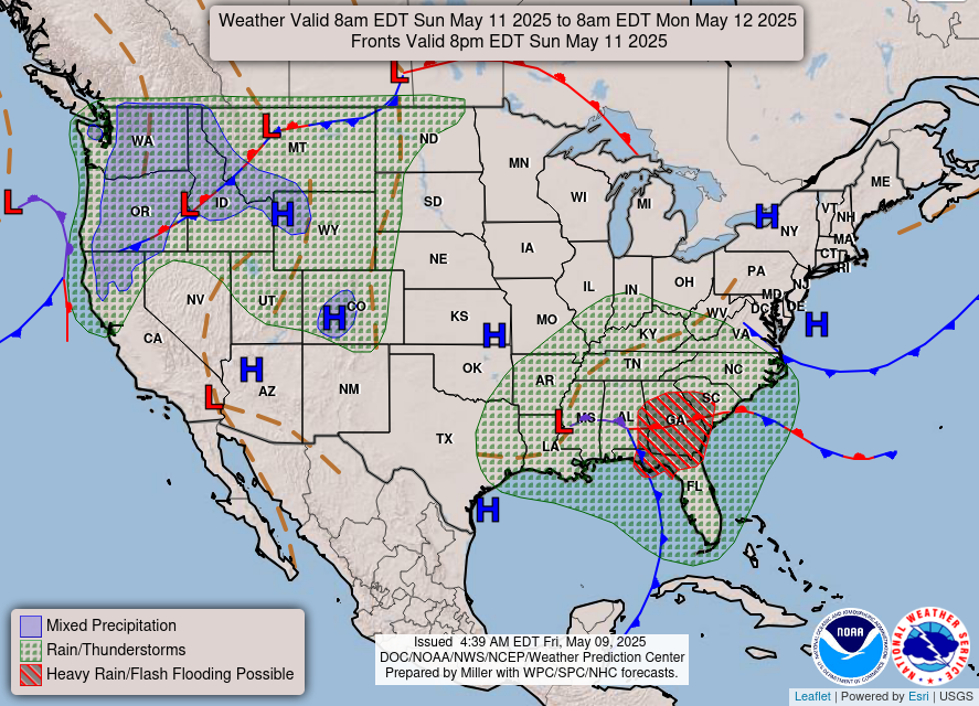
Latest forecast is bad for the US. Also, I've seen projections that go out farther than on this map and after saturday it's expected take a sharp turn north towards Florida. Some show it just brushing by Miami on its ultimate destination to Wilmington NC.
Announcement
Collapse
No announcement yet.
Miscellaneous And Off Topic Subjects
Collapse
X
-
Originally posted by hack View PostAt least Irma's trackable. I'm told there's one gathering storm out there, Hurricane Wiz, whose path is so random that can't even be modelled. Currently it's just stuck doing donuts over the mid-atlantic.I feel like I am watching the destruction of our democracy while my neighbors and friends cheer it on
- Top
Comment
-
For those of you watching ..... and I am one of those because I have a place in Fort Lauderdale ..... Irma continues to make a bee line towards FL.
Most of the model guidance (the ensemble guidance - means all of it put together) suggests there's a 70% chance of a direct or glancing hit on South Florida (see first image below). The better 30% involves the movement of a high pressure system (see second image below) moving into the SE as we speak that has the potential of steering Irma north and east by Friday of this week and potentially off the East coast of Fl altogether.
If Irma hits this high pressure system and the turn to the north occurs between 75 and 80 West Longitude, then the Bahamas would be impacted this weekend with the east coast of Florida also impacted by Irma on Sunday and Monday. Most likely a glancing blow. From there, the northward movement would bring Irma inland along the South or North Carolina coast around next Tuesday.
OTH if the turn to the north occurs in the 80-85 West Longitude range (further West), it would track the core of a major hurricane across the Florida Peninsula from south to north impacting a large part of the state on Sunday and Monday. This track would bring less impacts to the Carolinas as the hurricane would be weaker by the time it pushes into these areas.
For reference 80 degrees west longitude runs right along the E coast of FL. 70 degrees, further East, straight through the Bahamas.
So, there's no way of escaping it. Irma is going to make a mess of the whole state of Florida one way or the other by the weekend. The degree of damage will depend on it's strength and how far or how close it is to the coast.Last edited by Jeff Buchanan; September 4, 2017, 08:08 PM.Mission to CFB's National Championship accomplished. But the shine on the NC Trophy is embarrassingly wearing off. It's M B-Ball ..... or hockey or volley ball or name your college sport favorite time ...... until next year.
- Top
Comment
-
Yeah, I'm sitting in Lower Alabama and have property in St Simons Island Ga. Right now, it looks as if the best thing that can happen for me is for it to go straight up the FL peninsula and lose steam before it gets to south GA. My guess is that the high keeps pushing it west for a couple of days. I don't think it will stay off of the east coast. I think it is more likely to hit the peninsula before it heads north or even cross into the Gulf a bit.
I am watching it closely, too.
No matter what, this is going to be a mess.I feel like I am watching the destruction of our democracy while my neighbors and friends cheer it on
- Top
Comment
-
Florida Gov. Rick Scott has declared a state of emergency in the state as rapidly growing Hurricane Irma, now a Category 4 storm, is expected to make landfall later this week.
Better to be ready, this looks bad.
[ame]https://twitter.com/NBCNightlyNews/status/904837453479116800[/ame]
- Top
Comment
-
Something I really don't get. I consider NOAA and The National Hurricane Center (NHC) the least reliable weather source for me anyway. I have access to several sources that IMO gives a much more detailed and accurate picture of what Irma is going to do. In fact, I've got one (the ECMWF Model) that shows (predicts is the operable word) what it will do all the way through Thursday September 14th. I get it that forecasts can change but, IMO, not this one. The features affecting Irma are too strong and seem predictable to me as they seem pretty solid in this model. There are other models and modelers and that's where the confusion sets in and the unwillingness of NOAA to take a stand on one.
I can read and understand the pertinent features on a surface analysis chart that are going to influence Irma's track and display surface winds. It's not hard. You can see a very strong high pressure feature in the Eastern Atlantic that is pushing Iama's track South and West. You can also see a weaker High pressure system in the SE US. I can tell by looking at the pressure lines on the chart that it's not likely that the Hi in the SE is going to overcome and push against the Hi in the Eastern Atlantic. It's not going to kick Irma East ward off the US East Coast. Yet the chart from NOAA/NHC only shows what's going to happen through this Thursday. Irresponsible IMO.
Here's what I think is going to happen based on sources I have freely available to me and my admittedly armature weather forecasting interests. The FL Keys and South Florida are going to take a direct hit, Sunday September 10th with surface winds exceeding 110mph and a shit ton of rain but not like Harvey and not like Andrew that leveled Homestead FL with 156mph winds. This is going to be a moderate wind event, not a flood event. However, South Florida is low lying so there will be flooding to some degree. Next Irma will weaken somewhat shoot up North with the core exiting the East coast of Florida around Daytona Beach. From there it will track along the coast.
Irma will cross back over the East Coast at the GA/SC state line still packing Hurricane Force Winds (>70mph) after that it sort of peters out wind wise but will bring plenty of rain.
I think there are a lot of politics with NOAA. I've heard this a lot. It has to do with FEMA mobilization the cost of not mobilizing versus mobilizing and the affects on state governments. NOAA gets accused of over estimating and underestimating so, they draw back instead of make longer range predictions. It's stupid, IMO. So, I'm giving you my take, probably worst case, things could change.Mission to CFB's National Championship accomplished. But the shine on the NC Trophy is embarrassingly wearing off. It's M B-Ball ..... or hockey or volley ball or name your college sport favorite time ...... until next year.
- Top
Comment
Comment