Lots of messy weather activity in the Caribbean and GOM. Franklin crossed over Hispaniola about 12h ago dumping lots of rain and tropical storm winds in the 40-60 mph range. Franklin is forecast to become a Hurricane as it moves NNE, will pass to the west of Bermuda and models are in agreement that it will threaten Atlantic Canada but not the US East Coast.
There's a tropical disturbance hanging out in the straights between the Yucatan Peninsula and Cuba that is forecast to develop into a tropical storm. Track is really uncertain with the FL panhandle southward to Tampa, St. Pete the target area. The State of FL just declared states of emergency in 33 counties. That will get everyone's panties in a wad with local TV weather personalities issuing breathless weather forecasts. Admittedly, its hard to take 20 minutes to explain the multiple options for this low pressure system so, maybe best to get on top of the worst case possibilities that this mess will become a tropical storm and then develop into something worse threatening FL along the it's panhandle and FL's western coast.
There's a tropical disturbance hanging out in the straights between the Yucatan Peninsula and Cuba that is forecast to develop into a tropical storm. Track is really uncertain with the FL panhandle southward to Tampa, St. Pete the target area. The State of FL just declared states of emergency in 33 counties. That will get everyone's panties in a wad with local TV weather personalities issuing breathless weather forecasts. Admittedly, its hard to take 20 minutes to explain the multiple options for this low pressure system so, maybe best to get on top of the worst case possibilities that this mess will become a tropical storm and then develop into something worse threatening FL along the it's panhandle and FL's western coast.

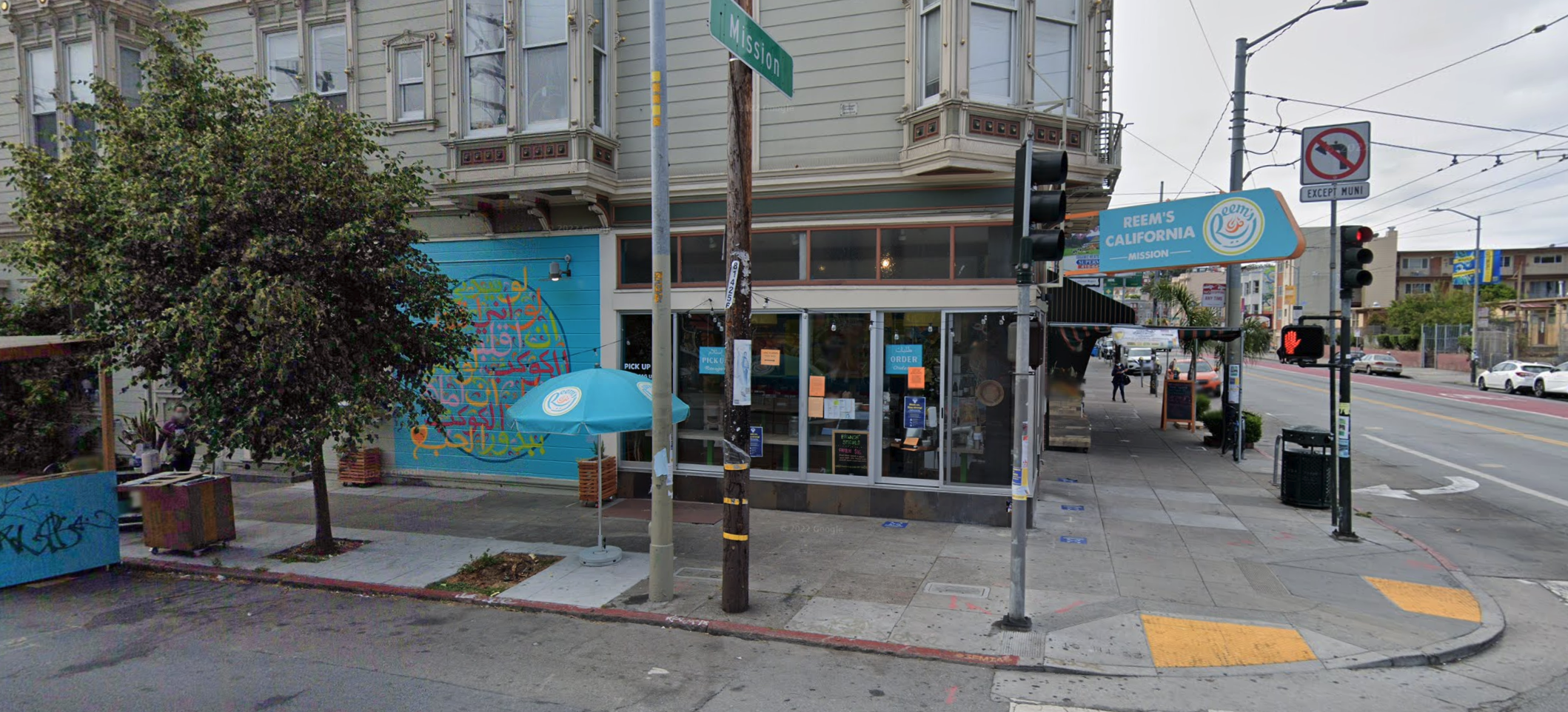
 The San Francisco police union alleges an officer was denied service last weekend at a Reem’s California cafe at 2901 Mission St. | Source:Google Street View
 Reem's California also has a location in the Ferry Building in San Francisco. | Source:Garrett Leahy/The Standard
Comment